100% completed
Our first Instant Wild GOWAN project comes from the Cayman Islands, a rich network of shallow reefs and open ocean habitats.
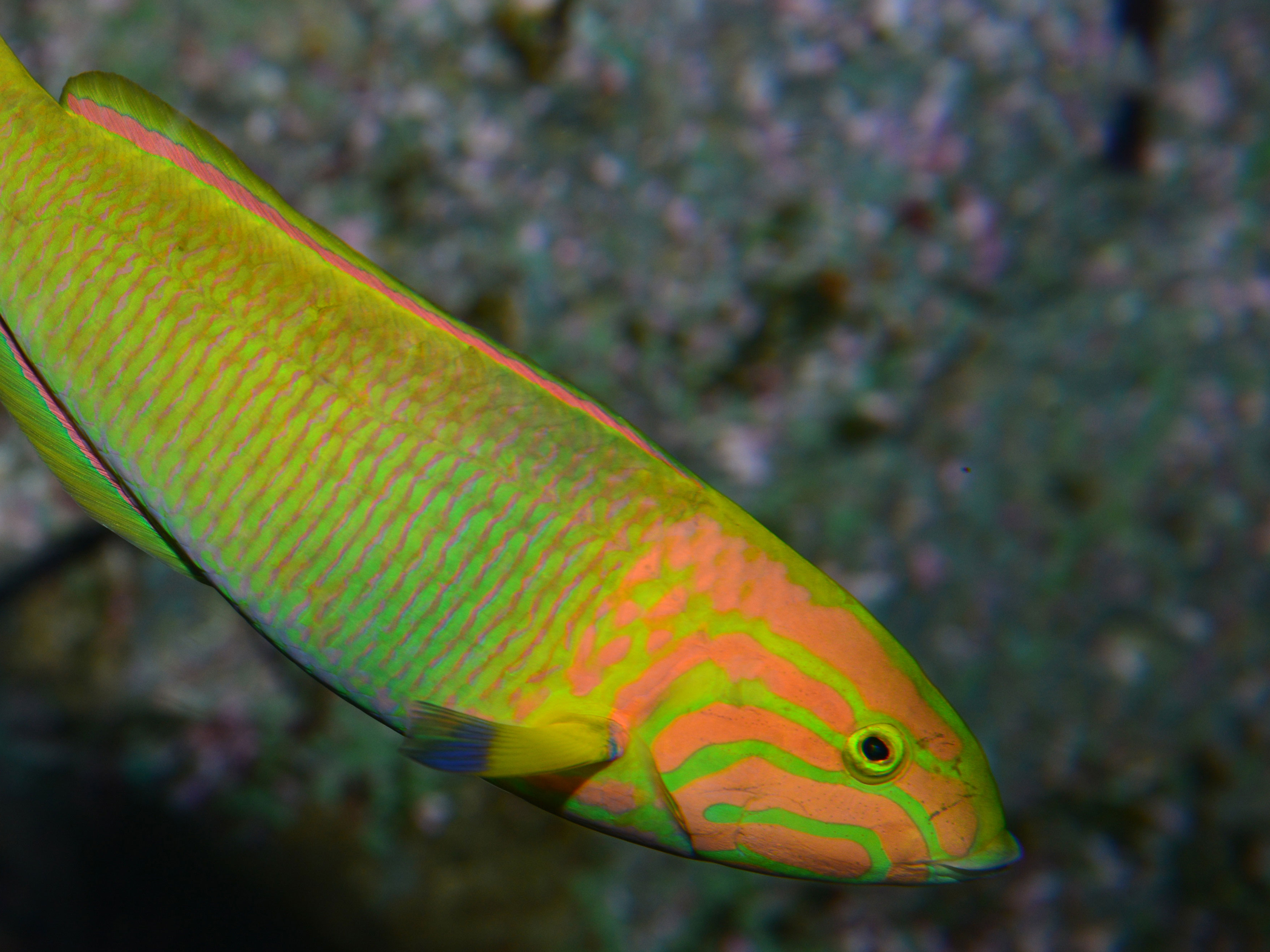
The open ocean stretches to the depths of the Cayman Trench which, at 7,686 m, is the deepest point in the Caribbean. However, little is understood about the “what” and “where” of many of the reef fish and open-ocean (pelagic) species such as sharks and billfish.
The Cayman Islands is part of the Global Ocean Wildlife Analysis Network (GOWAN). Stereo baited remote underwater video systems (BRUVS) are being used in 13 UK Overseas Territories to catalyse the collection of information about their marine wildlife. This information, which includes fish IDs and their abundance and size, can then be used by Territorian governments to help manage their valued marine wildlife. Such management may include tourism promotion, sustainable fisheries and marine protected areas.
The Cayman Islands' GOWAN project includes footage of reef and ocean wildlife from three surveys conducted by the Cayman Islands Department of Environment in 2022 and 2023 around the island of Grand Cayman. The BRUVS were deployed to capture important information about the diverse range of species present, their behaviours, and how they use different habitats.
Every piece of footage that you tag in this project will help to fill critical data gaps in the Cayman Islands, allowing managers and researchers to better understand what species are present. The clips that you tag will also feed into a network-wide understanding of our ocean wildlife, helping threatened species recover and supporting resilient oceans. The Global Ocean Wildlife Analysis Network is a collaborative project of the UK Foreign and Commonwealth Development Office (FCDO), Centre for Environment, Fisheries and Aquaculture Science (CEFAS) and 13 participating Overseas Territories with technical support from Blue Abacus. It is delivered as part of the UK government’s Blue Belt Programme.